Wall Mile 11 [HB 166]
Give thanks for Heddon-on-the-Wall. Why? Because the fact of its existence caused the Military Road to make a small diversion in order to avoid it, thereby preserving a rather splendid length of curtain wall and ditch for our delectation and pleasure.
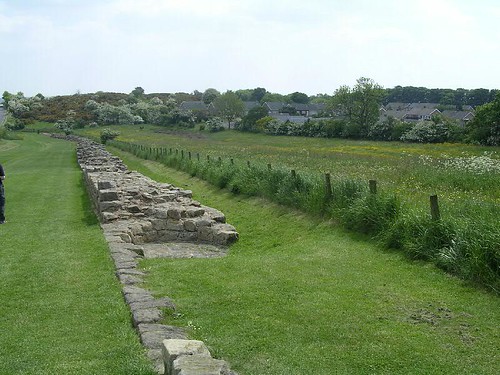
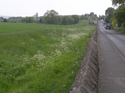
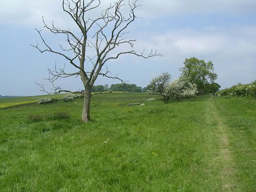
Curtain wall at Heddon
The National Trail, however, now chickens out and dives off down the hillside to send the unwary wandering along the riverside for no good purpose. Don’t worry; the price they pay for this abject act of cowardice is that they have to walk further than we do and they are going to miss some rather good bits of Wall (including the smallest piece of consolidated curtain wall) into the bargain. Now, dear reader, we are on our own until we are reunited with these view-seekers at Wallsend.
There are various signs that point us towards the consolidated length of wall at the east end of the village. We slip through a narrow gate and instantly we are walking along the line of the ditch, with the wall immediately to our left. In the distance we can see the point where the Military Road and curtain wall reunite, but for the time being we can enjoy this section of Broad Wall. It is some 215m in length and survives up to seven courses high. Near the west end, a circular kiln has been inserted into the ruins of the wall, possibly during the post-medieval period. Reassuringly, the Vallum survives as a subdued earthwork in the field to the south.
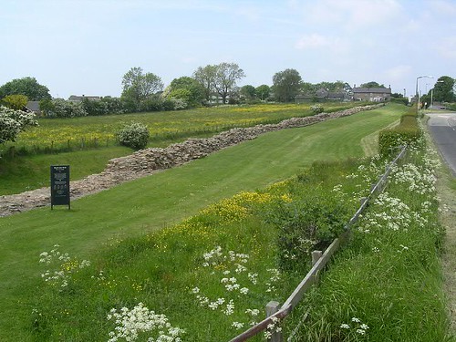
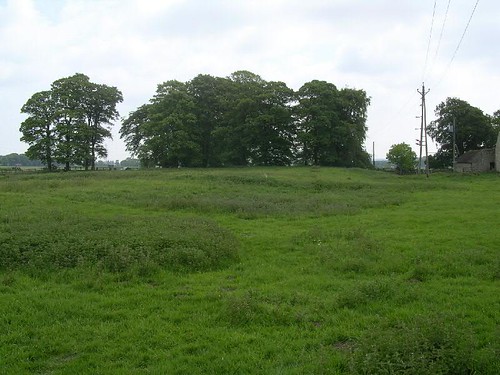
View back towards Heddon
As we leave the sanctuary of this length of wall and its boot-welcoming turf, we can cross over to the pavement near the point where the curtain wall rejoins the Military Road at the crest of the hill. Or, at least, it used to. In 1926, Northumberland County Council decided to improve the gradient on the road and, in so doing, grubbed up some 55m of the wall which lay beneath the original road surface. Remember, that’s a length of wall preserved by the Military Road, and destroyed by a county council! Luckily it was possible for Parker Brewis to excavate it before its destruction. It is wise to take with a pinch of salt all protestations of vandalism levelled against the original builders of the road; there are plenty of sections of curtain wall destroyed in the medieval and post-medieval periods where there was no road to blame (as William Hutton found at at Planetrees). The Military Road is just one of many predators that have nibbled at the corpse of Hadrian’s Wall.

The ditch at Great Hill
Once we have reached the crest of Great Hill there is a long, gentle, downhill slope before us and some rather exciting archaeology buried beneath the road. From here, the Wall runs in a dead straight line to Milecastle 11. Now the ditch is to our left, albeit overgrown, the curtain wall lies beneath the southern carriageway, and the Vallum is in the field to the right, often visible as a crop or parch mark. The north carriageway lies on the line of the berm and it is this that has proved to be rather interesting. Excavation during work to improve the water mains along this stretch of the road found that the berm was covered with pits arranged quincunx fashion (like the spots on the 5 side of a die). These have been interpreted as pits designed to hold obstacles such as thorn bushes, acting like a barbed-wire entanglement. This would not only hinder an enemy coming across the ditch, from north-to south, but also stop anybody running along the berm to gain an advantage over patrols along the Wall. One writer has, however, suggested that they are no such thing and in fact represent an early timber predecessor to Hadrian’s Wall. An interesting idea, but the absence of a berm between this putative timber wall and the ditch would make it unlikely on the grounds of stability, if nothing else (remember how Turret 54a suffered from inattention to this important point).

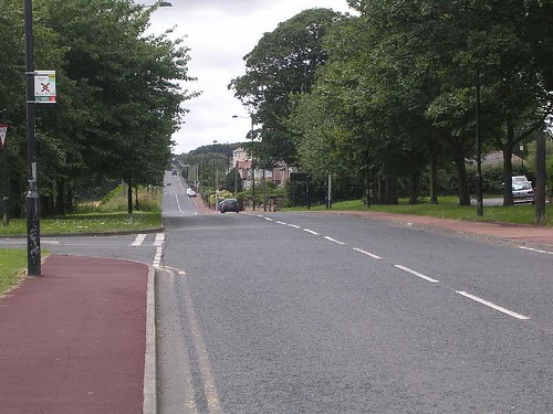
The Military Road with the resurfaced water-pipe trench still visible
Then it is just a long, steady walk along the pavement (passing Frenchmen’s Row on the left, home to refugee French royalists in the late 18th century) until we reach the crest of the hill down to Throckley, the approximate location of Milecastle 11 (Throckley Bank Top).
Milecastle 11 (Throckley Bank Top) [HB 165; haiku]
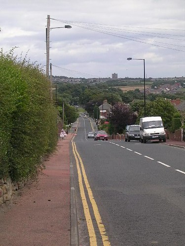
Throckley Bank Top looking back towards Heddon
As you will already have deduced, this milecastle has also proved elusive, although by measurement it should lie somewhere under the working men’s club south of the road.


You must be logged in to post a comment.