Wall Mile 4 [HB 150–1]
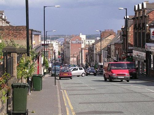
Walking westwards from the Arts Centre, we pass through the line of the medieval city walls (still visible to our right, eradicated to the left). Redevelopment here uncovered traces of the medieval city ditch but also of hadrian’s Wall, which the property frontages have dutifully been following. This was the location of the West Gate (hence the name of the road) and the beginning of the 18th-century Military Road, of which more later.

Westgate Road on the line of the Wall ditch
Next we arrive at a rather impressive obstacle, in the form of the ceremonial way known as St James’ Boulevard, which leads to the magisterial heart of Newcastle (now called St James again after a brief flirtation with something dully commercial), a temple to sport that has been allowed to break all planning good taste and sit on the horizon in exactly the way ugly sports stadia shouldn’t. Ignore it and press on.
We cross this rather imposing road very carefully (it takes patience as the timings of the pedestrian crossings naturally do not favour pedestrians) and head up Westgate Road, past the motorbike shops and greasy spoon cafes. We are making for the Big Lamp junction, the supposed site of Milecastle 5.
Milecastle 5 (Quarry House) [HB 151; haiku]
One of the consequences of the discovery of Milecastle 4 was to render the next few milecastle locations uncertain. The site of Milecastle 5 has yet to be found but Horsley ‘thought there were some visible remains of a Castellum [milecastle], just behind the quarry house’ near the junction of Westgate Road and Elswick Road, but this would make it much too close to Milecastle 4. The best we can do is assume a perplexed expression and press on.
 RIB 1323: coh(ors) I Th/racum (‘First Cohort of Thracians (built this)’). Building stone found 1864 in Clavering Place. Source: RIB II p.438


You must be logged in to post a comment.