Wall Mile 14 [HB 172–3]
Continuing along the line of the ditch to the north of the Military Road, we start to climb again until the point where an elaborate set of steps warns us that we are about to be required to cross the road again. Once again, care is need to avoid the pedal-to-the-metal motorists who, despite signs warning them of pedestrians crossing, seem disinclined to brook any laggards. Safely on the other side, we turn to continue our climb to the east, aiming for the top of Eppies Hill.
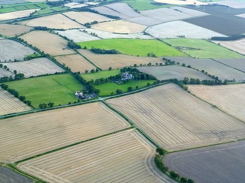
Eppies Hill and the detour from the air
Like Harlow Hill, Eppies Hill was chosen as a point to realign the course of the Wall and, as has recently been pointed out, the fact that in both cases the change was made immediately west of the crest is indicative of surveying and laying-out (but not necessarily construction) being carried out along here from east to west. As you near the crest, look back at the die-straight length of road (and under it wall) running to Harlow Hill.
We now veer onto a slightly more northerly course before coming to a junction where another rather spectacular detour is necessary to circumnavigate a recalcitrant property. We must turn left down a lane, which has the misfortune of being something of a rat-run for motorists wishing to shave a few seconds in their transit between the Military Road and the A69, so extreme care is necessary as there is no pavement for the best part of 280m before we once again turn east off the road. After 250m on this path it then takes us back north to the line of the wall, so that – bizarrely – we have walked the best part of 800m to cover 300m of wall. Such are the occasional inanities of the Hadrian’s Wall Path National Trail.
Back on the line of the wall, we soon arrive at the location of the next milecastle, within sight of the fort at Rudchester and just before another turn in the line of the Military Road and its underlying curtain wall.
Milecastle 14 (March Burn) [HB 172; haiku]
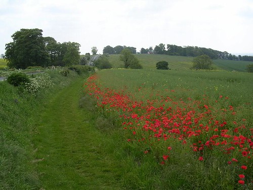
Site of Milecastle 14
There is nothing to see of Milecastle 14 (March Burn), which was examined in 1946 and 2000 and found to be probably a short-axis example of its kind, but there are impressive views south towards the Tyne valley and, since it is directly under the approach to Newcastle airport, upwards at the bellies of aircraft landing at or taking off from there.
